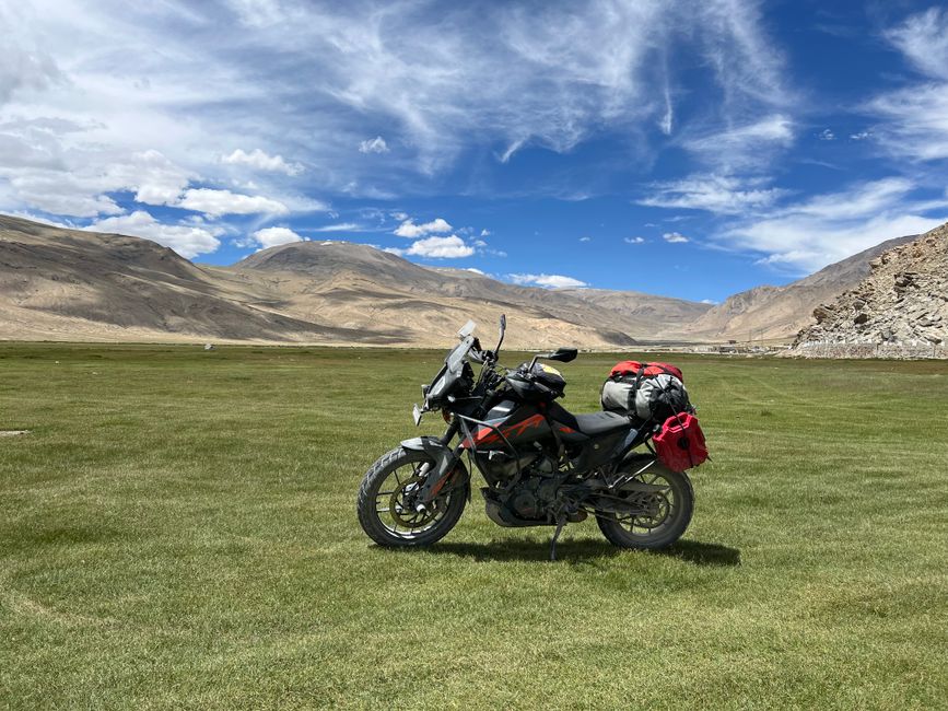
Route Planning for Enduro Rides in Mountainous Areas
Route planning for enduro riding in mountainous areas is a multi-layered process that combines digital mapping, physical terrain evaluation, and regulatory awareness. Unlike casual trail riding, enduro routes often traverse remote and variable landscapes where elevation changes, weather patterns, and land management rules can significantly influence the ride. A structured planning approach helps riders anticipate logistical challenges and make informed decisions before heading into the mountains. This article outlines key considerations for mapping tools, terrain assessment, and permit requirements, offering a framework for riders who wish to prepare thoughtfully.
Mountainous regions present unique variables: steep gradients, loose surface materials, seasonal closures, and limited access points. Riders must balance the desire for challenging routes with respect for environmental conditions and legal boundaries. Whether planning a single-day loop or a multi-day traverse, the process begins with gathering reliable information from multiple sources. The following sections discuss how to use mapping technology, evaluate terrain features, and navigate permit systems, with the understanding that local conditions and regulations may vary.
Mapping Tools and Digital Resources
Digital mapping has become a cornerstone of route planning for enduro riders, offering layers of information that paper maps cannot easily replicate. Geographic information system (GIS) platforms and dedicated off-road navigation apps allow users to overlay topographic data, trail networks, and land ownership boundaries. When selecting a tool, consider the availability of offline functionality, as mountainous areas often lack cellular coverage. Many riders use a combination of smartphone apps with pre-downloaded maps and standalone GPS devices for redundancy, ensuring navigation remains possible even in remote valleys.
Topographic maps at a scale of 1:24,000 or similar provide detailed elevation contours, which are essential for understanding gradient changes and identifying potential fall lines. Some platforms integrate satellite imagery that can reveal vegetation density, water crossings, and exposed rock surfaces. However, satellite imagery may be outdated, so cross-referencing with recent trail reports or local rider communities is advisable. Additionally, public land management agency websites often publish motor vehicle use maps (MVUMs) that indicate which routes are legally open to off-highway vehicles, including enduro motorcycles.
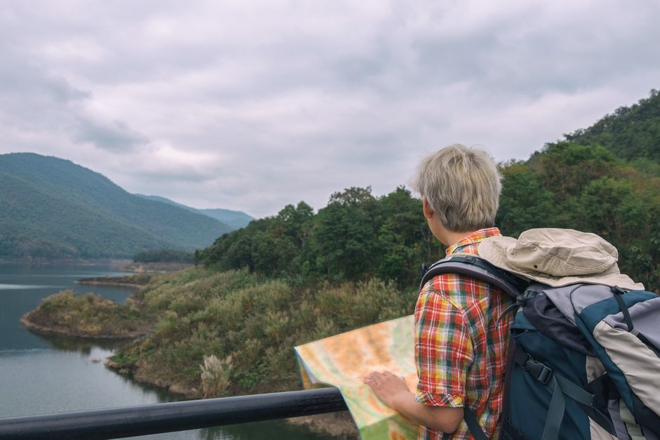
When building a route, it is helpful to create waypoints for fuel stops, water sources, and emergency exit points. Software that supports route sharing and track logging can facilitate group planning and post-ride review. Riders should also be familiar with coordinate systems and how to transfer routes between devices, as format compatibility can vary. Keeping a backup paper map and compass remains a low-tech safeguard that requires no batteries and works in all conditions.
Terrain Assessment and Route Difficulty
Terrain assessment goes beyond reading contour lines; it involves evaluating surface composition, exposure, and seasonal factors that affect traction and safety. Mountainous terrain can include loose shale, rooted forest floors, and rocky steps, each presenting different challenges for enduro riding. Planning should account for the technical skills required and the physical stamina needed to navigate such features. Riders can use online forums and local guidebooks to learn about specific trail characteristics, but nothing replaces firsthand scouting or recent reports from riders who have recently traversed the area.
Slope angle is a primary consideration. Sustained climbs or descents exceeding certain gradients may require specific riding techniques and increase the risk of overheating or brake fade. Aspect—the direction a slope faces—influences snowmelt, soil moisture, and vegetation, which in turn affect traction. North-facing slopes may retain snow later into the season, while south-facing slopes dry out faster but can become loose and dusty. Evaluating these factors helps in estimating travel time and identifying sections where caution is warranted.
Water crossings and weather patterns also merit attention. Mountain streams can rise rapidly after rain, and seasonal storms may make certain routes impassable. Checking precipitation forecasts and historical weather data for the region can inform timing. Additionally, riders should consider the presence of wildlife, livestock, and other trail users, which may require adjusting speed or choosing alternative routes. A terrain assessment checklist might include:
- Surface type and expected traction
- Average and maximum gradient
- Exposure to weather and aspect
- Water availability and crossing hazards
- Escape routes and bailout points
- Estimated time and distance between resupply points
Combining digital analysis with field observation, where possible, yields a more reliable picture. Some riders conduct pre-rides on foot or bicycle to verify conditions, especially for events or group rides. This step can reveal discrepancies between map data and actual ground conditions, such as new washouts or fallen trees.
Permit Requirements and Land Access
Permit requirements for enduro riding in mountainous areas depend on land ownership and management designations. In the United States, public lands are administered by agencies such as the U.S. Forest Service, Bureau of Land Management, and National Park Service, each with its own regulations. Many areas require a valid driver’s license, vehicle registration, and insurance for street-legal dual-sport motorcycles, while dedicated off-highway vehicle (OHV) areas may have separate permits or passes. It is essential to verify whether a route crosses private property, as trespassing can lead to legal consequences and damage access for other riders.
Some mountainous regions impose seasonal closures to protect wildlife habitat, reduce erosion during wet periods, or manage fire risk. These closures are typically published on agency websites and may be updated frequently. Riders should check for current conditions and any temporary restrictions before finalizing a route. In certain areas, a special use permit may be required for organized events or group rides exceeding a certain size. Contacting the local land management office can clarify specific requirements and provide insights into recommended practices.
Permit acquisition often involves fees and processing times, so planning ahead is advisable. Some agencies offer online applications, while others require in-person visits or mail-in forms. Keeping copies of permits and identification on the rider is a common practice, as enforcement officers may request them. Additionally, riders should be aware of noise regulations and stay on designated routes to minimize environmental impact and maintain access for future use.
Integrating Planning into a Cohesive Strategy
Effective route planning for enduro riding in mountainous areas integrates mapping, terrain analysis, and permit compliance into a single workflow. Riders can begin by defining the ride objectives and matching them to available resources—time, skill level, and equipment. From there, they can use digital tools to draft a route, then evaluate terrain features and regulatory constraints. Iterative refinement, such as adjusting the route to avoid sensitive areas or adding buffers for unexpected delays, helps create a realistic plan.
Sharing the plan with others, including a responsible person who is not riding, is a recommended safety measure. Providing details such as expected route, timeline, and emergency contacts can facilitate assistance if needed. Some riders use satellite messengers that allow two-way communication in areas without cell service, which can be valuable in mountainous terrain. Post-ride, reviewing the plan versus actual conditions can inform future planning and improve decision-making.
Resources such as Ridgeline Moto offer educational content and community insights that can supplement official information. However, riders should always rely on primary sources for land access rules and current conditions. Planning is a dynamic process, and flexibility is key when conditions change. By approaching route planning methodically, enduro riders can enjoy mountainous terrain while respecting the environment and legal frameworks that govern its use.